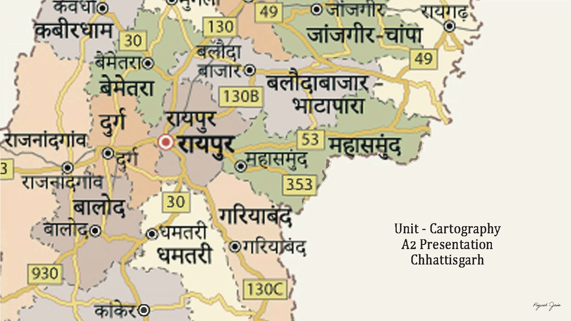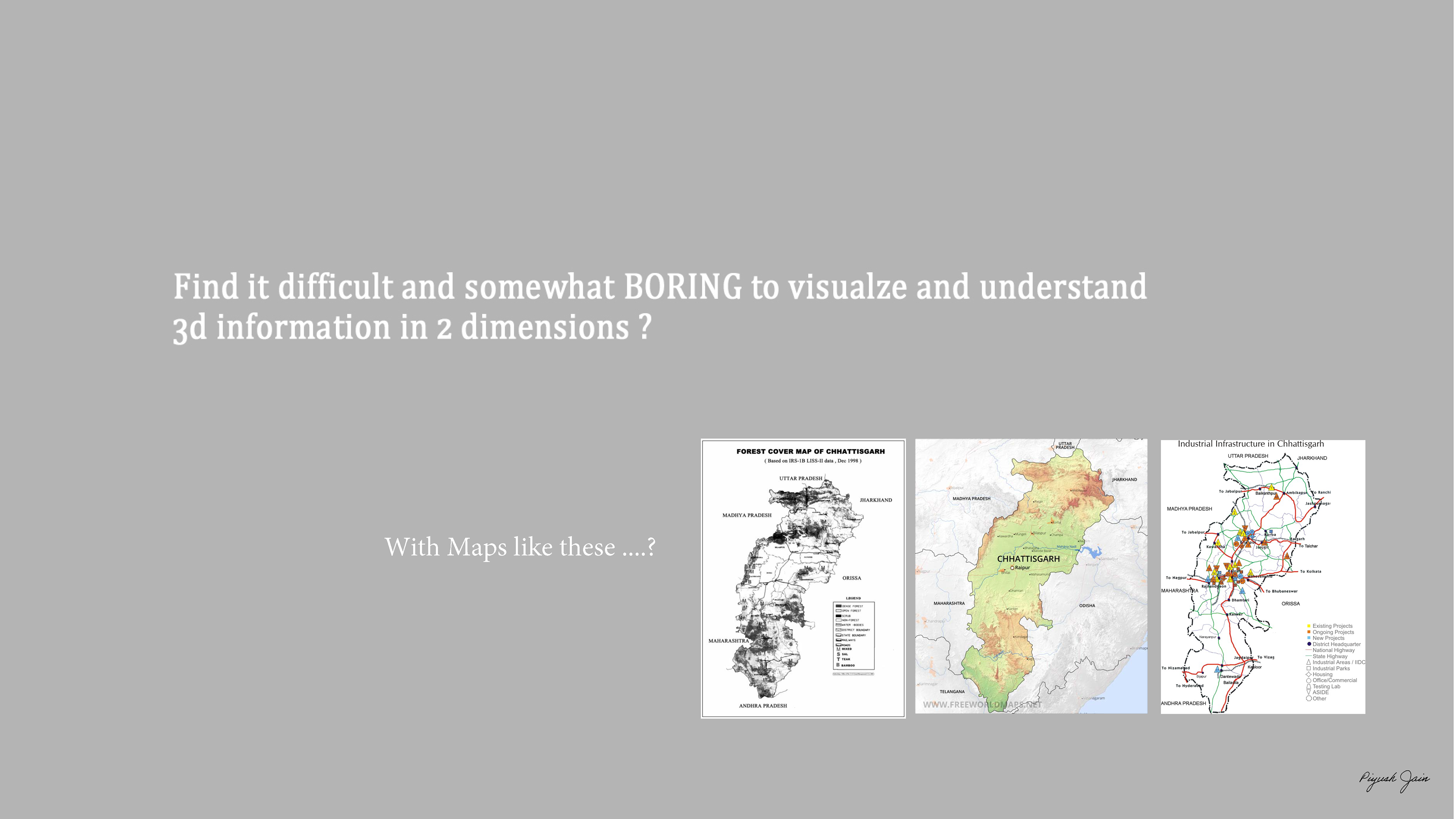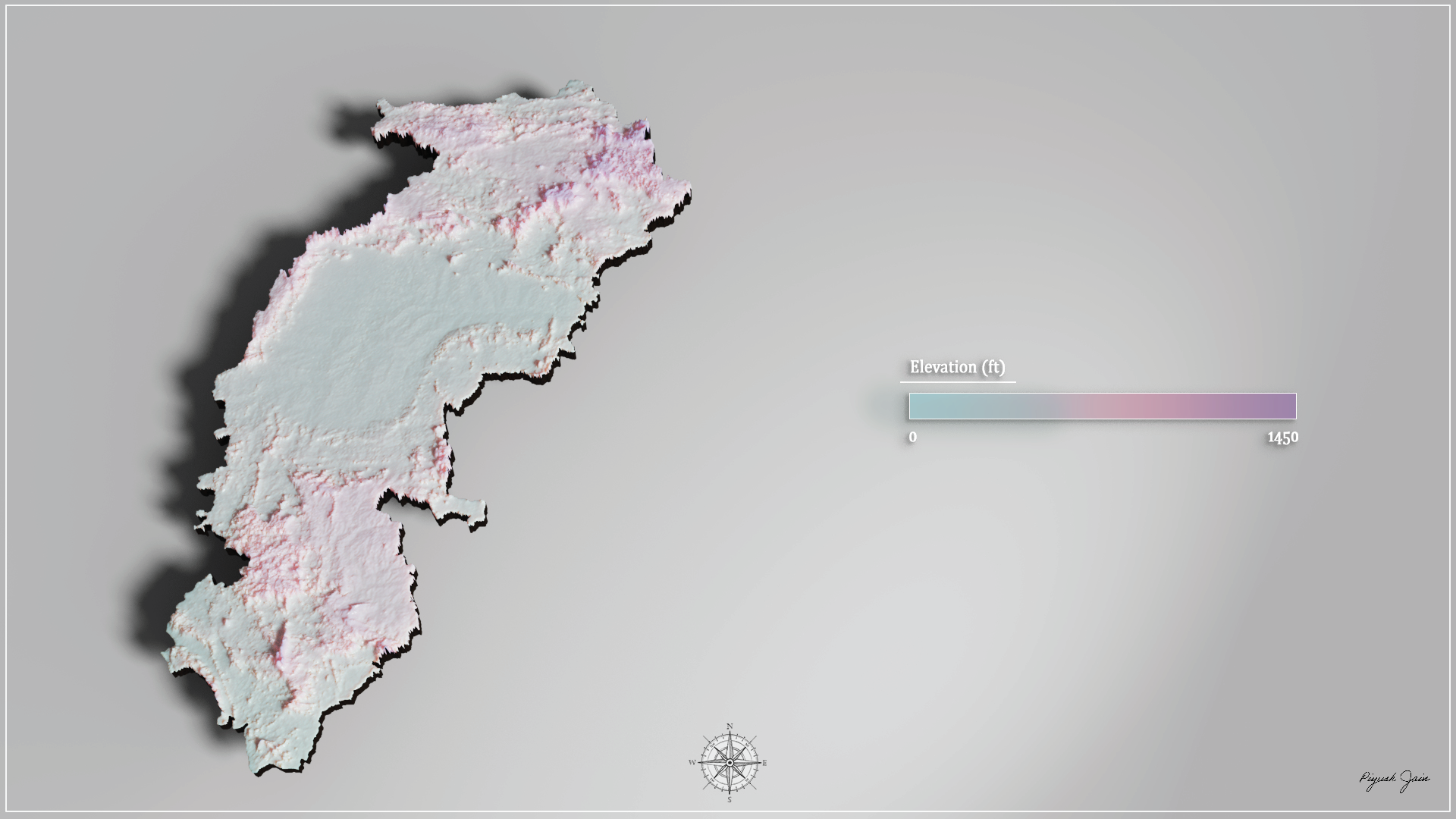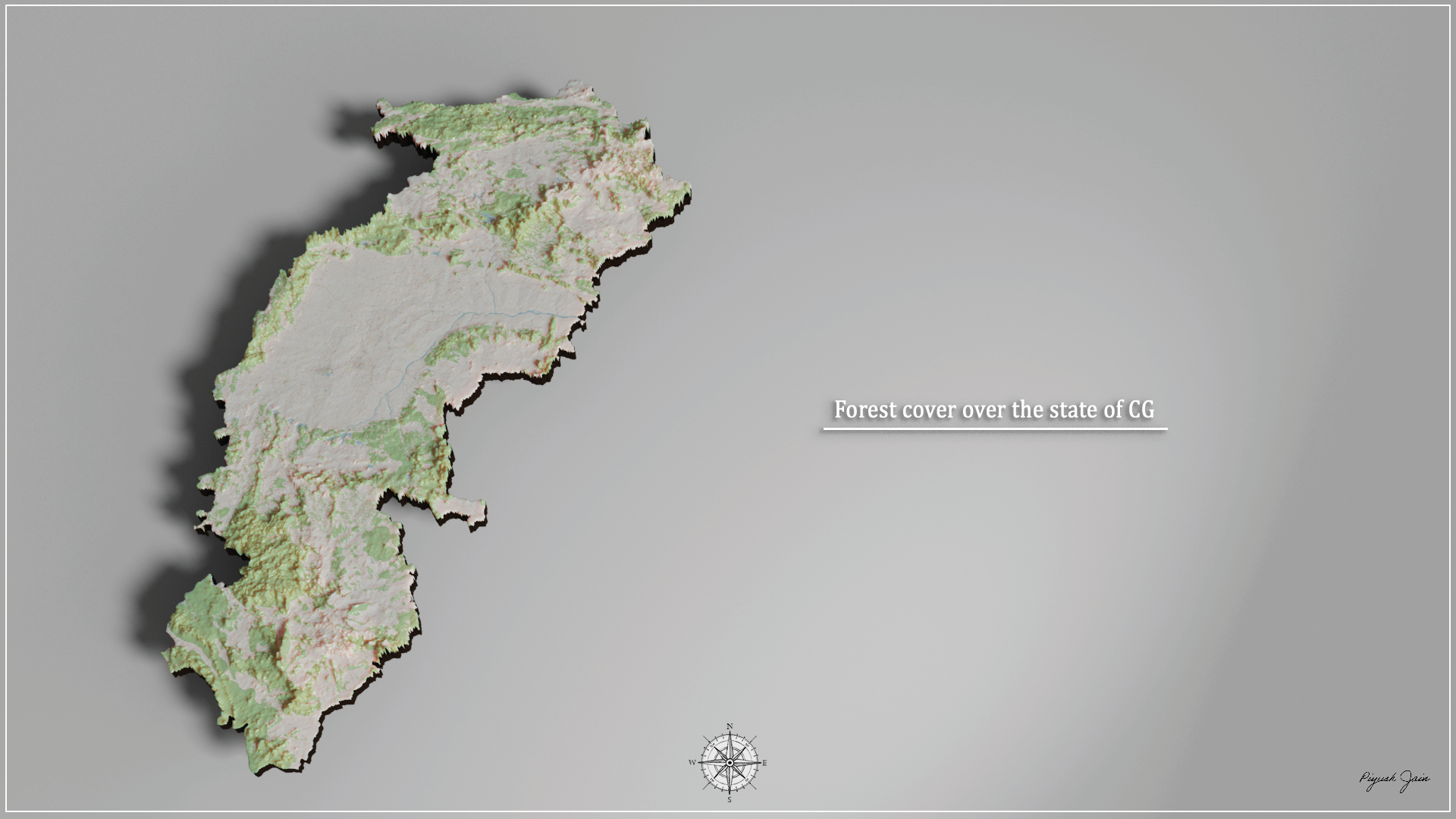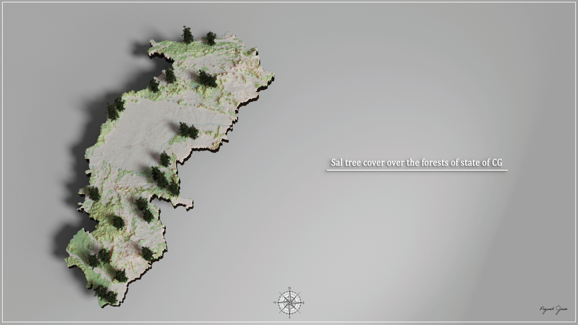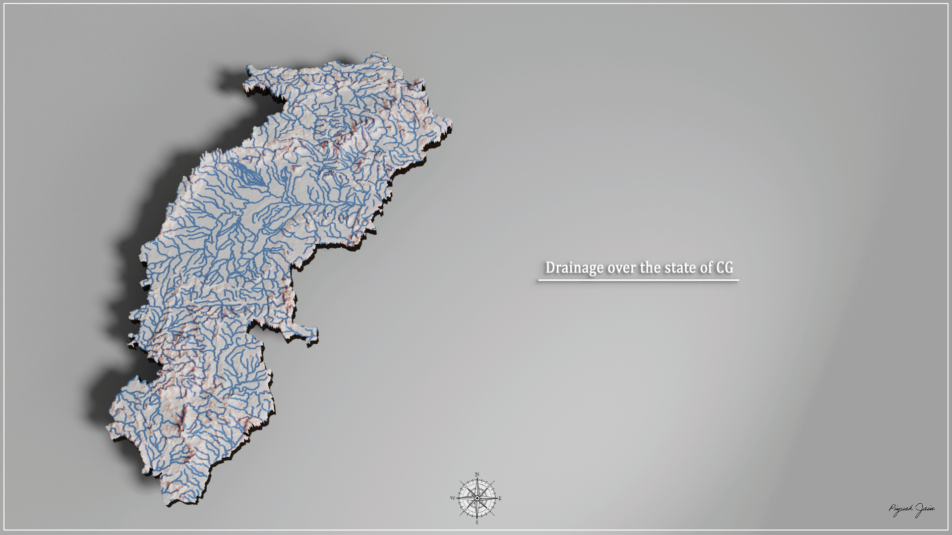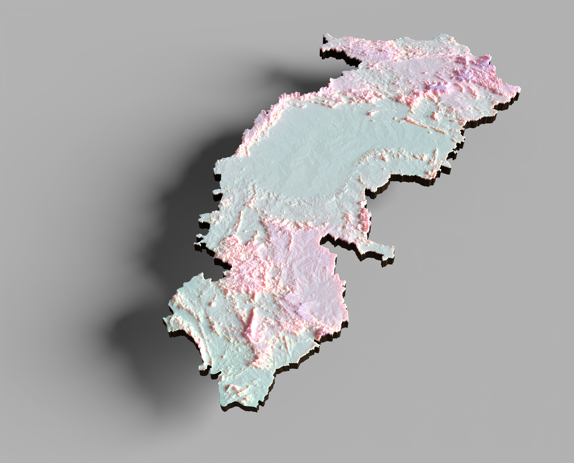
The intent of the workshop was to create an artistic intervention in the field of cartography. Representing spatial information in a completely two dimensional method is conventional but it's unintuitive and thus repulsive often. The thought process behind making this was to represent three dimensional information in a better manner, something more like 2.5D.
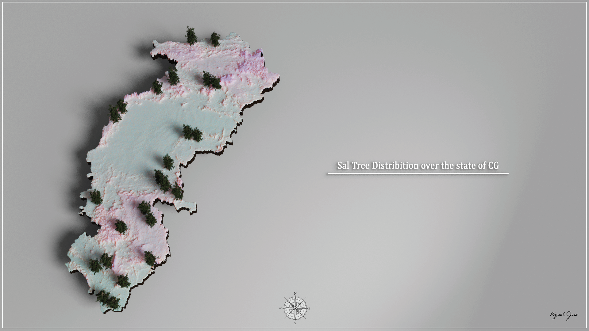
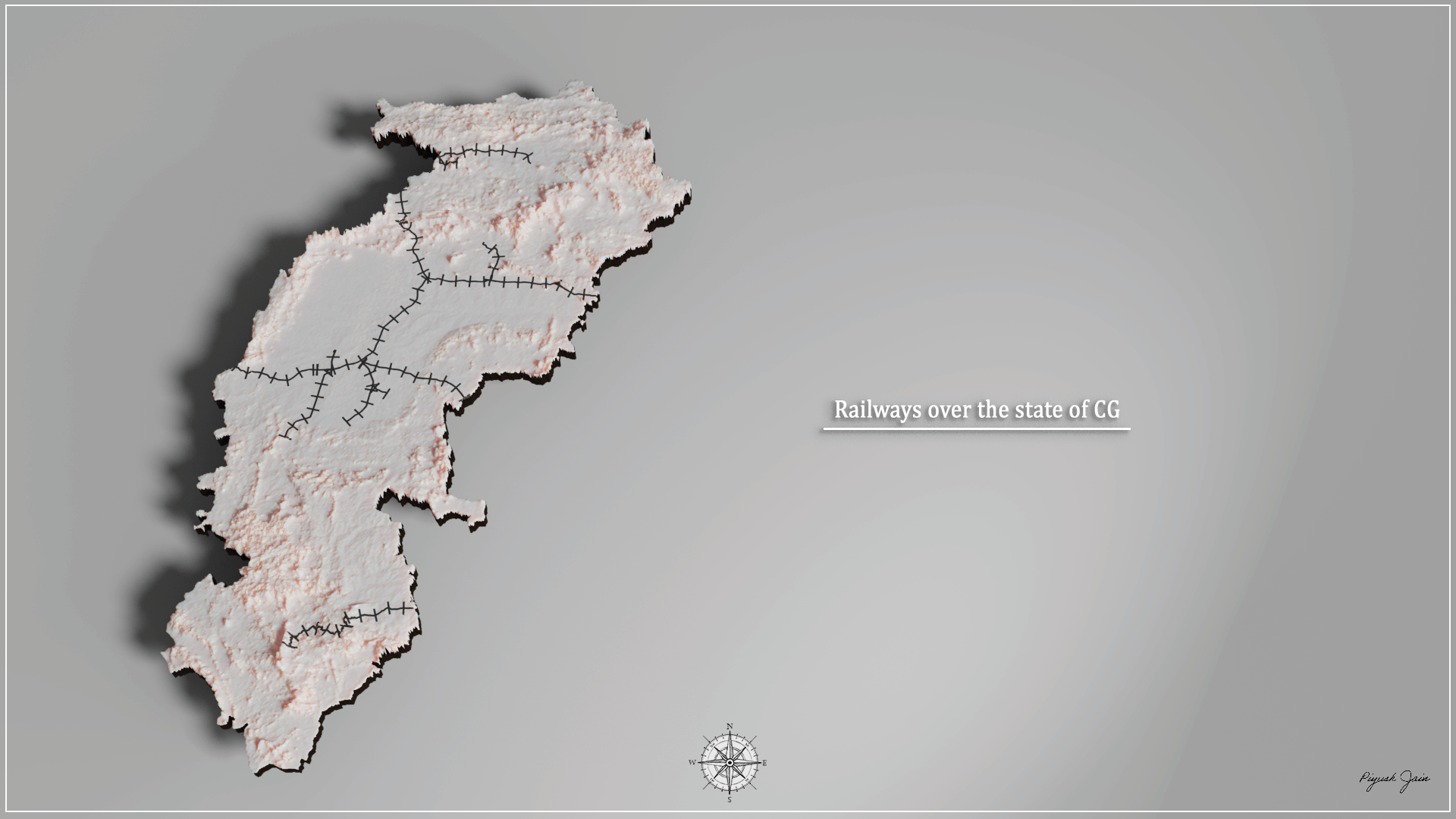
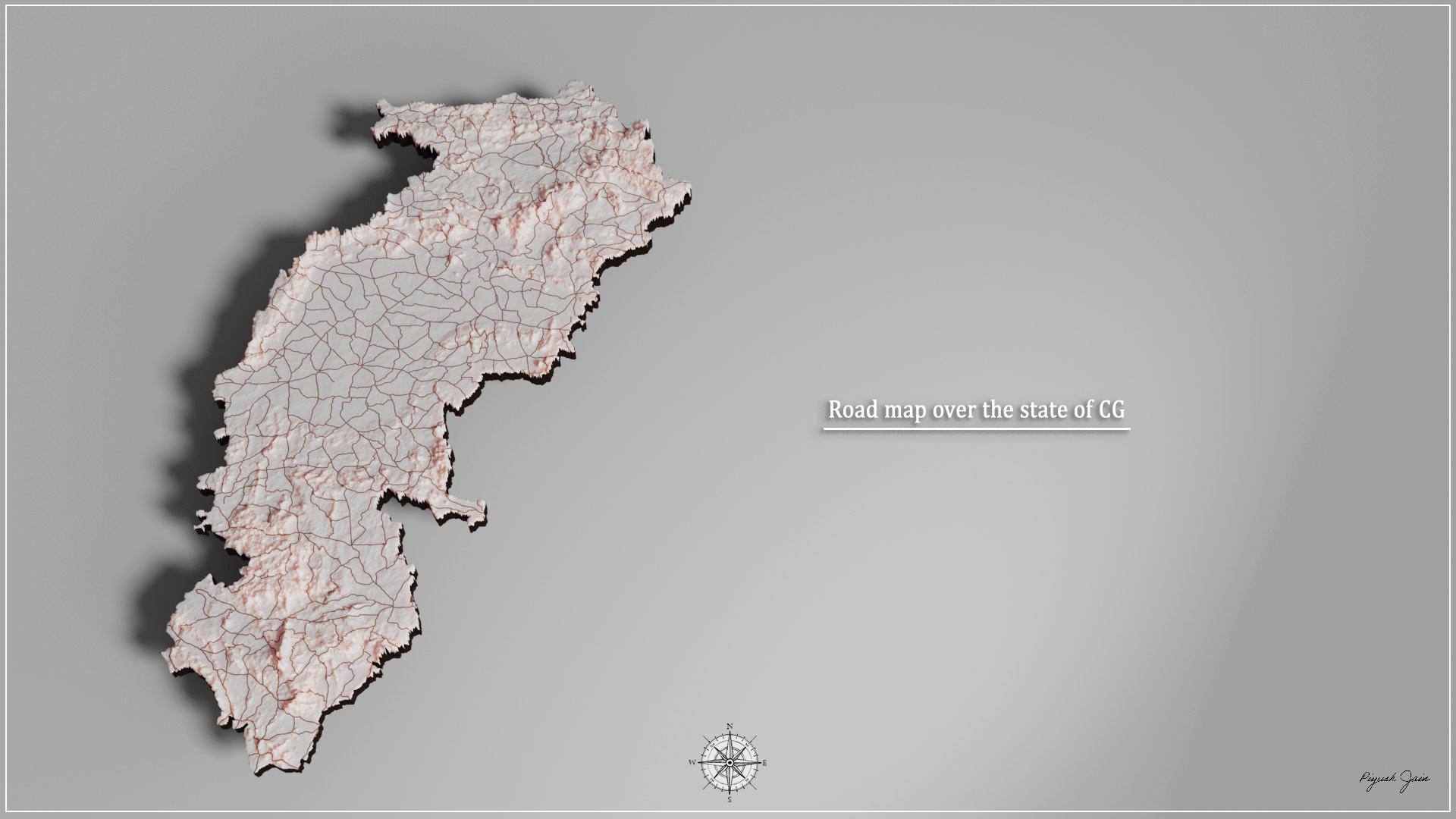
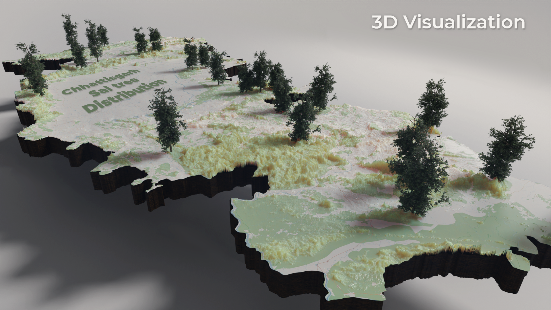
In 2.5D, it becomes more intuitive. For example, In the representation of the state of Chhattisgarh here, If one looks at the forest cover or the road map in 2.5D, One can speculate that the reason forest cover remains in the places it is, and roads aren't, is somewhat connected to the hilly terrain present that makes it harder for humans to civilize the place. Similar connections can not be as intuitively brought in with two dimensional maps.